
-
On-campus course
- Design
- Humanities
- Earth & Planetary Sciences
- 9th
- 10th
- 11th
- 12th
Enrichment
1-Week Commuter Session: $995.00, 2-Week Residential Session: $5,495.00
*Registration is no longer available.*
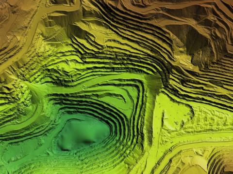
Maps are where science meets art! Maps are more than 2D representations of geography. They can convey so much data without any words. Historically, humans have created and used maps to convey information. From ancient civilizations to modern times, maps can convey a wealth of knowledge. Join the fun and truly learn the meaning of the old phrase - a picture is worth a thousand words!
Session
Program Year
